
Riverscapes Viewer
Unlock Riverscapes Data: Streamlined Exploration with Web and Desktop GIS
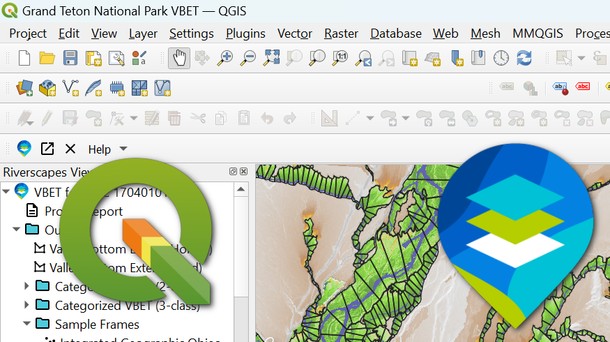
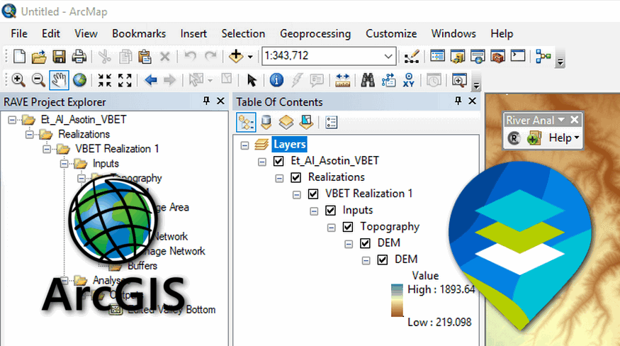
Our Riverscapes Viewers make it easy to explore riverscape projects as maps. Developed by the Riverscapes Consoritum, these tools are available as both a web application and desktop GIS plugins for QGIS and Esri's ArcGIS. They simplify the process of adding riverscape-related data to your preferred GIS platform, ensuring meaningful layer organization and symbology. We offer three versions of the Riverscapes Viewer to meet your specific needs.
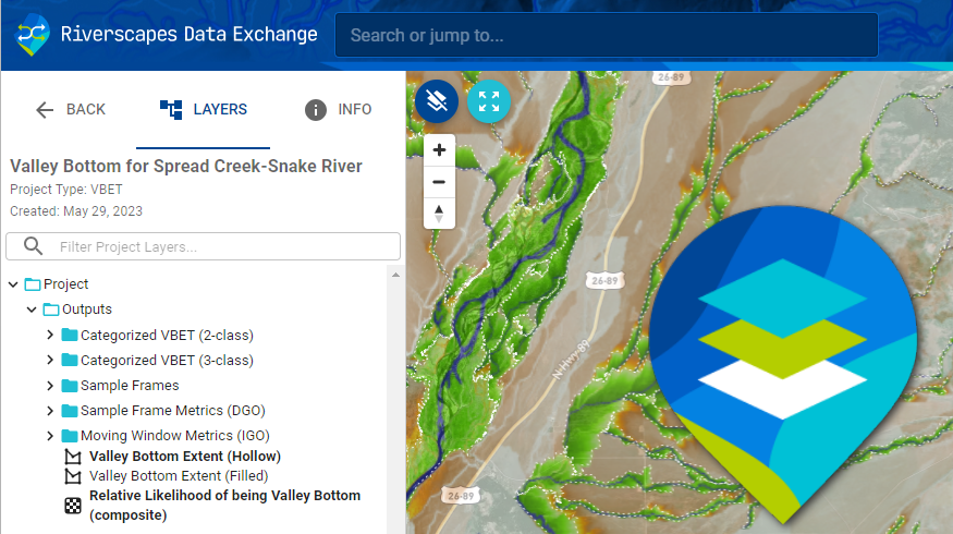
The Viewers are designed to work with riverscapes projects, which contain specific collections of data related to riverscapes. You can discover riverscape projects from the Riverscapes Data Exchange. You open any riverscapes project in the Viewer and a project explorer exposes curated project contents.
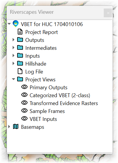 A Riverscape Project tree view
Most riverscpae project types include primarily GIS data, displayed with meaningful names and icons and the curated symbology. However, the viewer also exposes non-GIS data, like reports, json, tabular data, xml, imagery, PDFs, databases and more. Clicking on a geopspatial layer adds it to the current map in a carefulluy designed order with predefined symbology tailored to the layer in question.